LiDAR Modeling
Our team provides 3D modeling with LiDAR for various site surveying or building tasks.
High-Precision LiDAR Modeling Services for Accurate 3D Site Representations
At Take-off Professionals, we provide light detection and ranging (LiDAR) modeling services to create 3D representations of a site based on point cloud data. This 3D laser scanning technology collects surface points to create a highly accurate model of a site surface. LiDAR data provides the most advantages for civil, commercial sites or residential building projects when the information is transformed into a usable model in a format like computer-aided design (CAD) or building information modeling (BIM).
Some frequent applications include machine control solutions or scrape-and-fill volumes. These models allow you to save time, create more accurate building plans and ease your decision-making processes.
Call us at 623-323-8441 to speak directly with a member of our team.
Request A Free Quote
Tailored Solutions for Every Industry
At TOPS, we specialize in providing advanced LiDAR services to transform raw data into accurate, high-resolution models that support professionals across various industries. Our LiDAR modeling solutions deliver precise, actionable insights that streamline workflows, improve accuracy, and drive project success. Here’s how we assist our clients with our LiDAR services:

Aerial and Land Surveyors
We use LiDAR technology to create precise topographic maps, boundary assessments, and site documentation, delivering accurate and efficient surveying solutions.
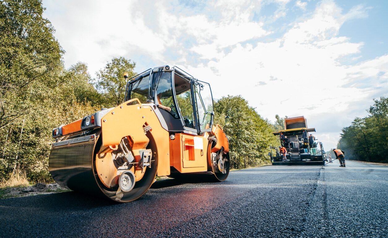
Roadwork and Highway
Our LiDAR solutions deliver detailed models for road alignments, grading, and drainage systems, improving the efficiency and accuracy of roadwork projects.

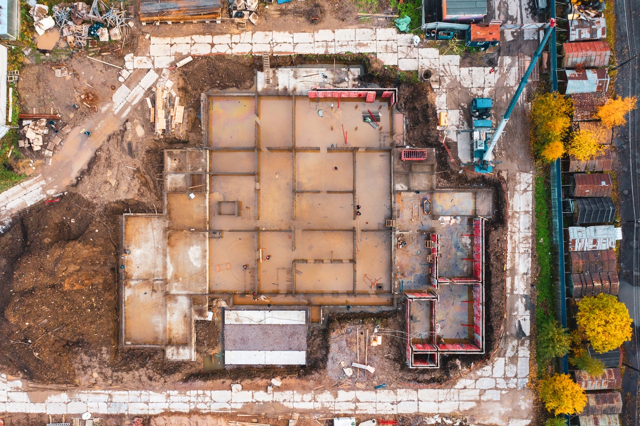
Civil Engineering
Our LiDAR services provide detailed models for infrastructure projects like bridges, drainage systems, and utilities, ensuring accurate planning, design, and construction.
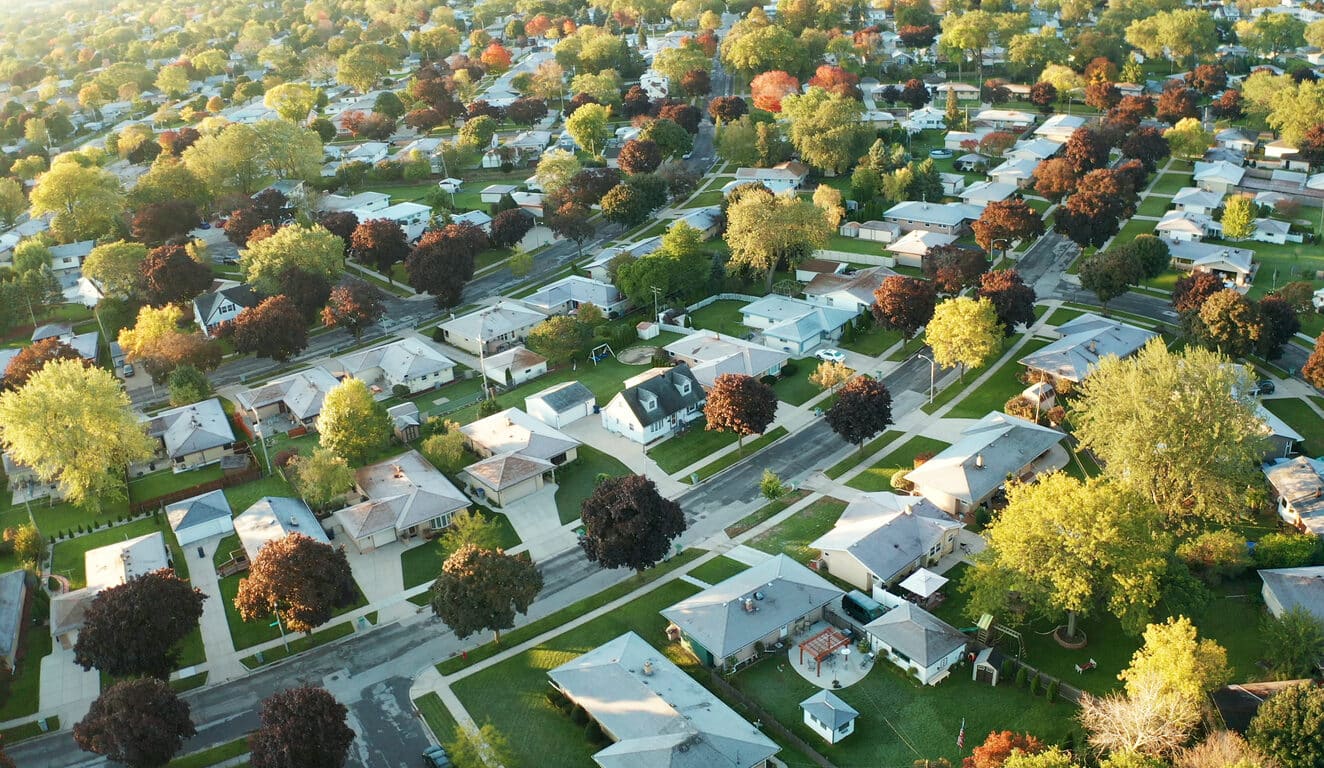
Residential Sites
We assist developers with LiDAR-based models for residential projects, providing detailed visualizations that enhance planning and streamline design processes.

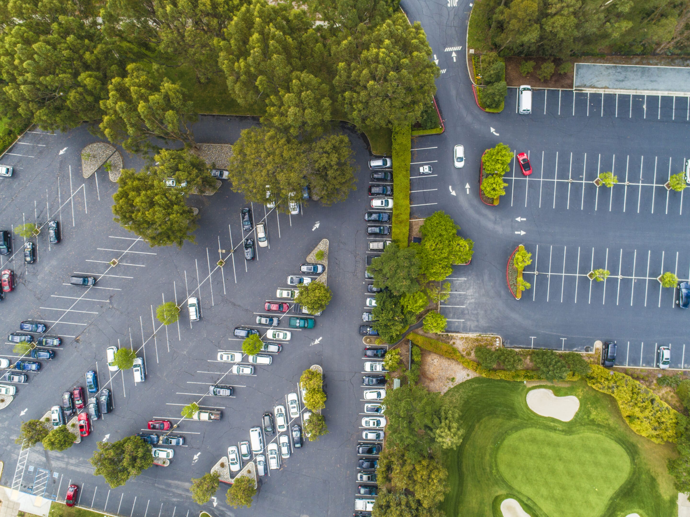
Commercial Sites
LiDAR scanning enables us to produce comprehensive models for commercial site planning, building layouts, and project visualization, helping developers make informed decisions.
Urban Planning and Development
LiDAR technology supports urban planners by delivering precise models for sustainable and functional community designs, including infrastructure and zoning layouts.

Landscape Architecture
We leverage LiDAR data to generate terrain models and site layouts, enabling architects to plan functional and aesthetically pleasing outdoor environments.
Utilities and Pipelines
We use LiDAR to create accurate models for pipeline alignment, maintenance planning, and utility infrastructure, ensuring operational efficiency and long-term project success.
What our clients say
Understanding LiDAR Data
LiDAR data consists of a large collection of points, each with an x, y and z axis to indicate the elevation and geographic position of the point. Remote sensing technology on planes or unmanned aerial vehicles (UAVs) collects these data points by sending out laser pulses and measuring the time it takes for the laser to reflect off the surfaces and bounce back to the sensor. The LiDAR system collects these data points in a point cloud.
After aircraft collect LiDAR data, engineers can use computer systems to analyze the points, connecting them to form a complete 3D image of the site and its terrain. This high-resolution model provides an accurate representation of the building site.
Precision LiDAR mapping is a vital first step in creating high-resolution models for machine control, initial site surveys and various other tasks. This survey technology collects the data points necessary to form accurate and precise models.
The team at Take-off Professionals is highly experienced in the LiDAR modeling process, and our expertise results in more effective modeling for your projects.
Assessment and Planning
Before collecting data for use in LiDAR monitoring, you need to complete the early planning stages. Determine the scope of the area you need to scan and identify any limitations you may face on the site. Maps and other site data may provide information about things like foliage that could obscure the data. Additional information, like soil types, may change the best approach for the building process.
The planning stages involve selecting the ideal LiDAR equipment to complete the scan. A few factors that may influence this decision include the desired density of the scan, the angles needed and the area covered. Often, planning also involves obtaining the necessary permits to gather the data.
LiDAR Data Collection
The LiDAR data collection process involves using a UAV or aircraft with a LiDAR instrument attached. The apparatus includes a laser, scanner and specialized GPS receiver, which create topographic maps of the land. Before collecting data, the device must be calibrated to ensure accurate measurements.
The LiDAR device sends out a laser, which reflects to measure range. This data is compared with information like position, orientation and scan angles to create a group of points called a point cloud.
LiDAR Data Analysis
After data collection, our engineers and 3D technicians provide data analysis. Post-processing requires high processing power, so it’s helpful to work with a professional team like TOPS. During data analysis, our experts align multiple scans and data points to create a comprehensive data set.
The process involves filtering and clearing erroneous or unnecessary points to create a more accurate and precise final design. Engineers label and classify various data points based on their attributes, grouping them into particular segments.
Model Creation
After data analysis, our engineers use programs like Autodesk and SolidWorks to create 3D models. During the modeling process, our experts use meshing to create more detail. They generate digital surface models (DSM) and digital elevation models (DEM) to show the elevation, terrain and objects found during the surveying process. The result is a detailed model of a job site that contractors can use for various purposes, including designing buildings or tracking progress.
Ready to discuss your project?
Converting Raw Data to Actionable 3D Models
To get started with TOPS, you just need to follow three easy steps:

Step 1: CAD Files
Provide the CAD files for the project in formats like AutoCAD .DXF and .DWG, among others. Files can be uploaded to their FTP site or shipped with the paper plans.

Step 2: Paper Plans
If sending paper plans, they will scan and store them electronically. You can transmit the scans or ship the paper plans.

Step 3: Work Order
Fill out a data prep work order on their website with the details of your scope of work. TOPS can accommodate various needs; just specify how you want the job to look.
Benefits of Choosing TOPS
Take-off Professionals provides expert LiDAR modeling services. We have been in business for over 30 years, bringing a high level of expertise to clients who rely on us for modeling services. Our team consists of full-time licensed engineers, surveyors and 3D technicians rather than subcontractors for more dependable results each time. We focus our services on data and modeling to provide the highest value to our clients. Our services offer additional advantages, including:
- Track record: We complete thousands of machine control models each year. This extensive experience in the industry makes us a reliable source for your modeling project.
- Service: We provide detailed quotes and accurate turnaround times for better project planning. Once the work begins, we stick to these estimates as long as the scope of work remains the same.
- Technology: Beyond investing in modeling technologies like CAD and building information modeling (BIM), we have created a platform that allows you to add notes, files and other information while receiving automated updates sent to your email.
- Coverage: Our engineers work across three different time zones to accommodate clients across our entire service area. When you need to speak with an expert, you can get updates during the workday with minimal wait times.
Precision
The lasers that collect data points can penetrate light vegetation, allowing them to create models extremely close to the site specifications. The final models are within centimeters of the actual site measurements.
Efficiency
Manual site modeling processes often require a significant time investment. Surveyors must move across a large area, collecting data points for future modeling processes. With LiDAR, aircraft can fly over the site to be modeled, sometimes in a single pass, completing the data collection process much more quickly. After collecting LiDAR data, engineers can bring the point cloud together to create finished models in less time than it would take with manual data collection and modeling.
Applications
LiDAR technology can serve every construction project stage, from planning to design through building. The technology assists with providing precise maps and detailed simulations efficiently. From the beginning of the project, the data helps create accurate designs. As projects progress, LiDAR modeling can show changes over time.
Safety
LiDAR models can support enhanced safety during the building process. These models provide detailed information about ground features and textures. This data determines areas that may need leveling or altering during the site preparation process. By detecting obstacles and hazards workers might miss, LiDAR models increase safety for workers and promote better quality in the final buildings or roads.
Planning
With high-quality LiDAR models, you have precise data from the start of your project. This information helps you estimate costs and create building plans. Designs will require less change and rework over time when they use more accurate site modeling because the models can identify clashes between design plans and actual site information. This capability allows you to update the plans before the project begins rather than in the middle of the building process.
Savings
When you turn to a professional LiDAR modeling team, you can save money because these teams have the technology to offer fast, high-quality models. LiDAR modeling also saves money over manual surveying due to its speed.
Contact Our Team to Learn More
LiDAR modeling can streamline work processes by creating efficient, detailed models to use at any stage of the construction process. When you seek a team to provide LiDAR modeling services, turn to TOPS, the industry experts who provide excellent client service.
Contact our team online for more information about the LiDAR modeling services we provide or to discuss our availability for your project.