
Advancing Construction: The Role of Civil Surveying
Civil surveying is essential for the success of many construction projects, from residential and commercial buildings to infrastructure. It gives project managers and engineers the geographical information they need to build a structure that will stand up reliably in...
Working with Surveyors
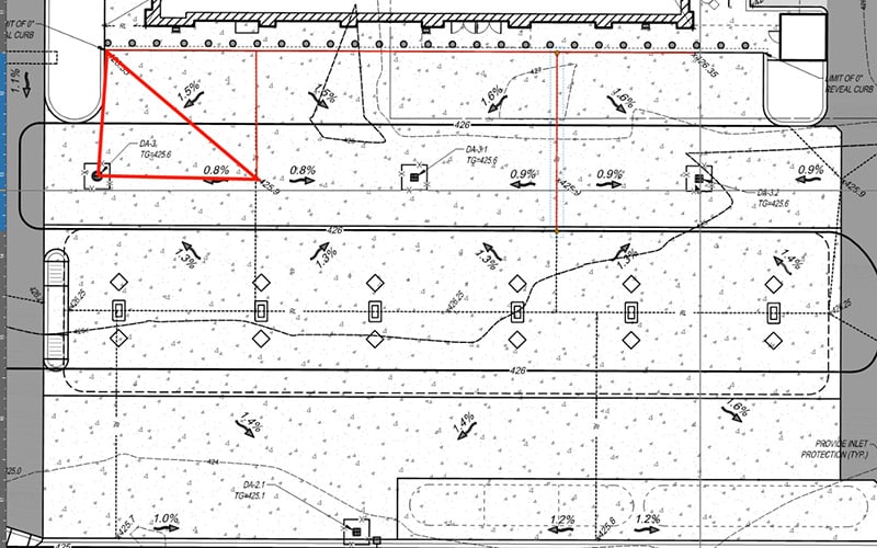
Many years ago, I proposed that machine control would change the surveyor’s role and made it a point to discuss this with many state surveying groups. As a rule, surveyors need to be exact. A circumstance could come up where one would have to defend their work in...
Regarding Civil Site Takeoffs
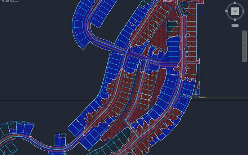
The request for “a quick takeoff” means different things to different clients. When a client makes this request, I generally know exactly what they need. The quick dirt number I provide usually leads them to knowing how much Teflon tape they’ll need for the water pipe...

Optimizing Land Surveying: The Drone Advantage
Surveying is a profession that requires patience and accuracy. Companies across many industries need surveyors to evaluate large plots of land and provide them with detailed mapping and measurements. From construction crews to archaeologists, having an aerial view or...
Paving Rehab Data
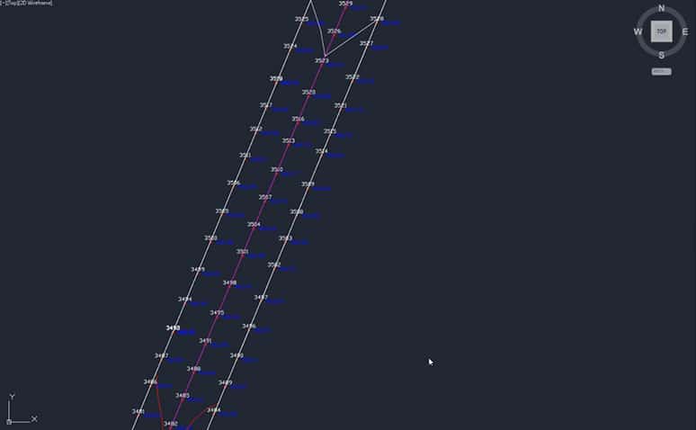
The U.S. Interstate Highway system is almost complete. Regional networks are mature, and the new right of way is geared for housing. Luckily, we still see new alignments and the percentage is increasing for repaving and full reconstruction. This increase has led us to...

Navigating the Horizon: Innovations in Surveying Technology
From the ancient wonders of the world to the modern buildings we inhabit today, surveying technology has been helping us measure for thousands of years. We've come a long way from the rope stretchers of ancient Egypt, but land surveying technology is still evolving....
Curb Alignments for Machine Guidance
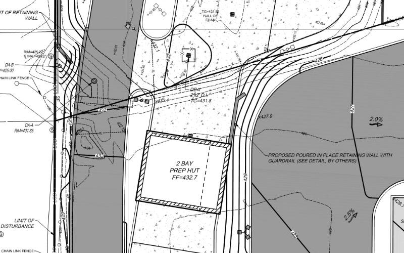
More contractors are taking advantage of stringless curb technology today. At TOPS, we got involved with stringless curb when it was proposed as an alternate application for machine control. In their quest for increased productivity, some of our clients are early...
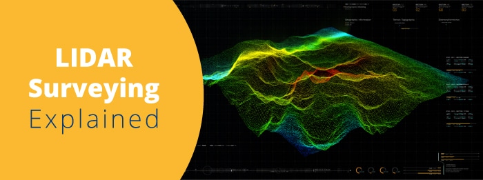
The Cutting-Edge World of LIDAR Survey Technology
LIDAR is a unique remote sensing technology that has taken the surveying industry by storm. The acronym "LIDAR" stands for Light Detection and Ranging and describes how the technology uses light in the form of lasers to measure distances. Take-Off Professionals' data...
Using XML in Civil Construction
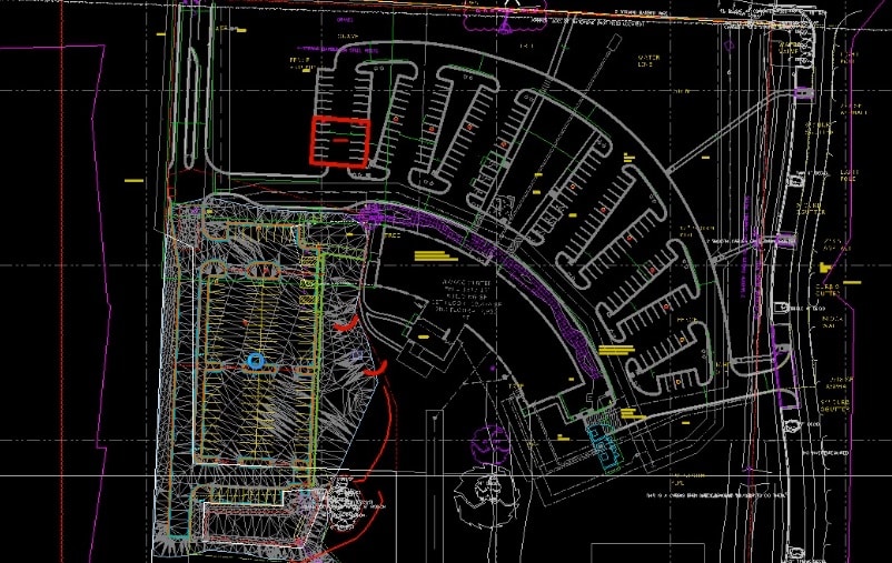
Extensible Markup Language (XML) is used throughout various coding and language platforms. In our field it’s used to produce and transfer data types for data prep and site construction. There are two versions of XML (1.0 and 1.1), and both will import into the current...
All About TIN Surfaces
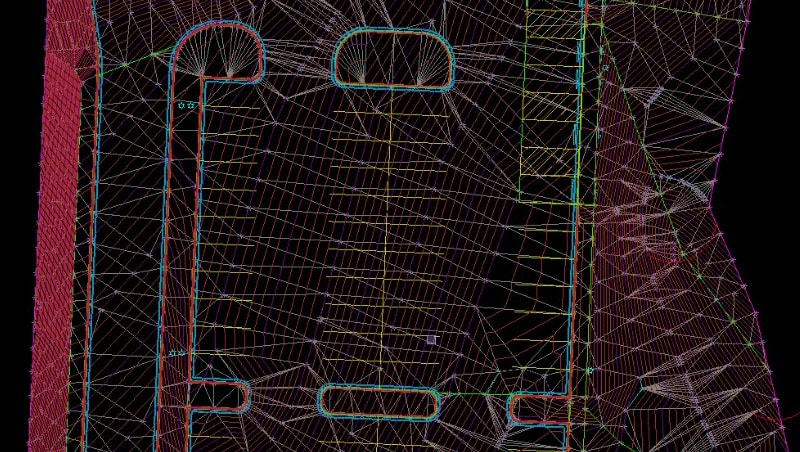
The building block of a surface used in civil and architectural 3D modeling is the TIN (Triangulated Irregular Network). We will go over its definition, rules, and tips for making this format perform. Let’s get started. The TIN surface Definition A TIN (triangulated...
