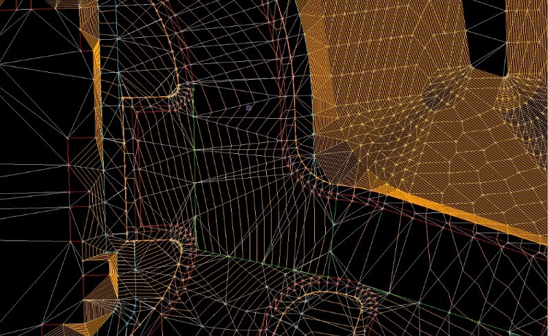
Trimble Business Center: Tips and Tricks
When you are learning software, there are two approaches; menu driven and process driven. Software developers write commands so that understanding software revolves around the command(s) that fit the need. My approach is to find the shortest and straightest line to...
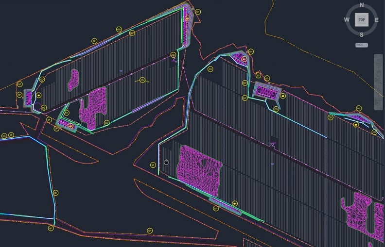
3D Data: Looking Beyond Machine Control
For many years, our business has been centered on the production of 3D data modeling for machine control. This is the low hanging fruit of a civil site. High dollar paving, building pads, and retentions are easier to do and higher quality with machine control. Fast...
Guide to Cut and Fill Maps
The processes involved with building roads, railways and canals often involve adding or removing large masses of dirt and stone. This addition and removal of mass is called cut and fill in the excavation industry. Cut and fill is a common process where the movement of...
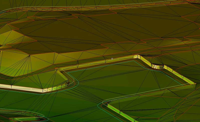
UPDATE: Chasing Perfection on Civil Sites
Our previous article on chasing perfection on civil sites covered the balance between a perfect model on screen and a well-priced practical job that performs well. In this article, we further explain the details that we touched on as well as additional tips to use to...
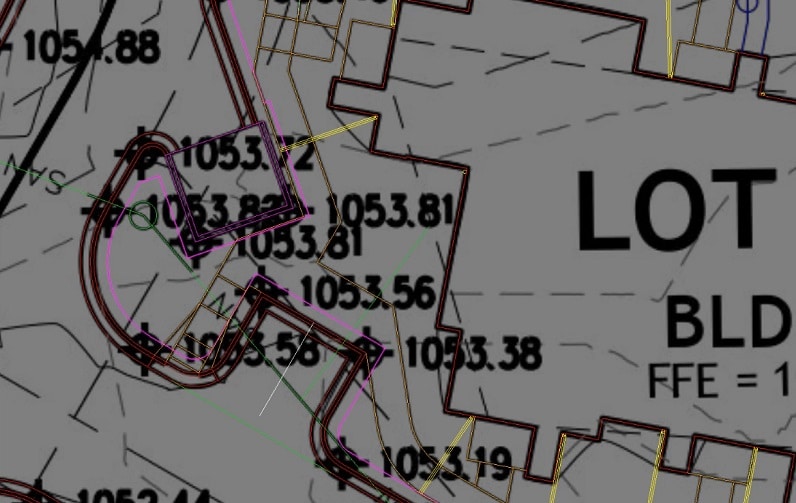
Trimble Business Center: The Details
Being a non-CAD program, the developers of Trimble Business Center were able to create something entirely new and change things they did not like about CAD, (things none of us like about CAD) with a fresh approach to data creation and manipulation. The roots of CAD...
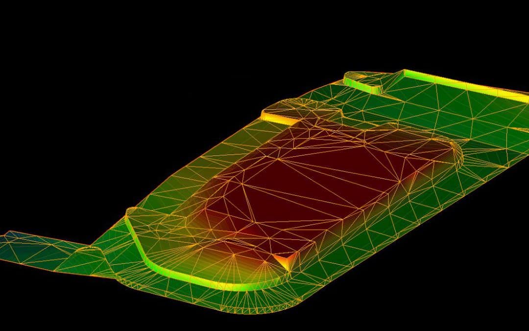
The Ultimate Guide to 3D Modeling in Construction
Technology is transforming nearly every industry, and construction is no exception. One form of tech that has recently had a substantial impact on the construction industry is three-dimensional (3D) modeling. 3D models have a major role in modern construction...
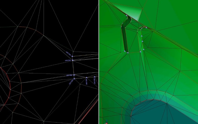
Trimble Business Center: Under the Hood
As a user of most modern data platforms, I can easily use Trimble Business Center(TBC) to do most anything with ease. Being a non-AutoCAD program, the commands are different from CAD but achieve the same results. More on that later. First, I would like to discuss the...
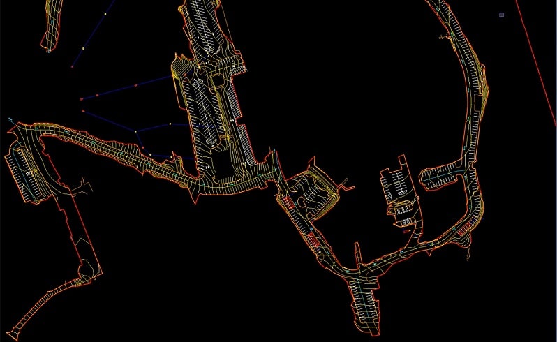
Profitable Implementation of Civil Integrated Management
The recent advances in technology for use in civil construction are impressive. The broad appeal of GPS, LIDAR, lasers, total stations and computers have provided the contractor with many opportunities. Contractors have embraced these advances but not without...
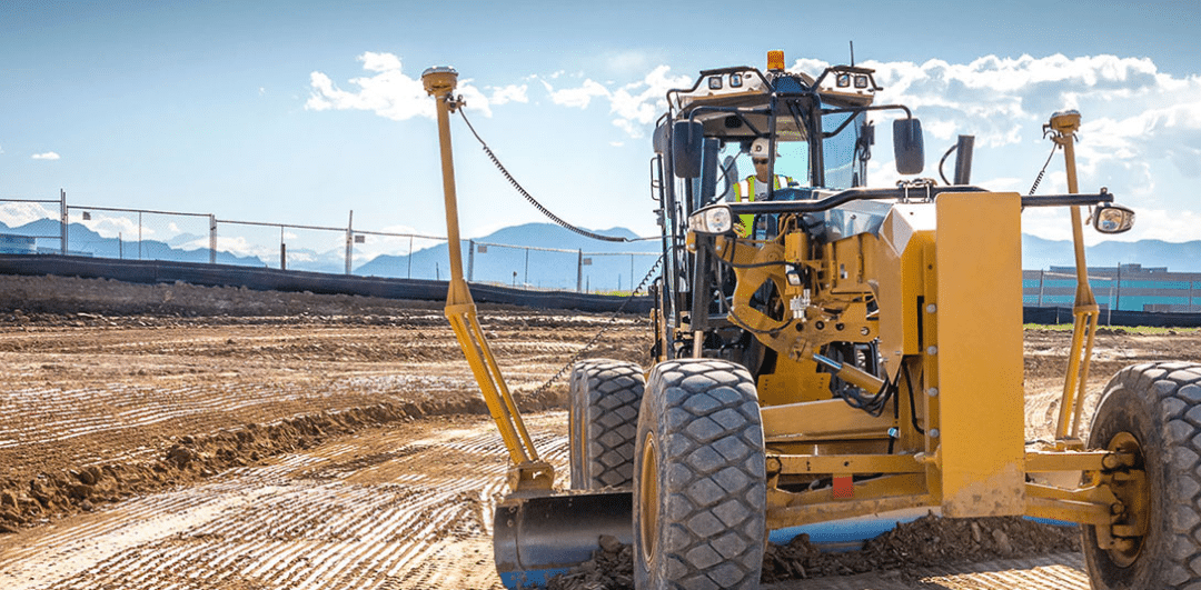
Choosing Between 2D and 3D Site Models for Construction
Modeling is essential in the construction industry for planning projects, communicating ideas and ensuring work gets done correctly. Construction professionals have used two-dimensional (2D) site plans for these purposes for some time, but more recently,...

The ABC’s of XYZ (Points)
At one time the only way to lay something out on a jobsite was to locate a point in 3-dimensions. With the advent of having real time/location elevations from a surface model, points have become less frequent on the jobsite. There are three major uses for points on a...
