
Essential Civil Engineering Software for Professionals
As a civil engineer, you rely on various engineering computer programs to get the job done. The kinds of programs you'll need depend on the kinds of projects you work on, as well as your specialization and where you are in your career. For example, new civil engineers...
Do I Need Civil 3D?
Spoiler alert, I’ll give the answer first, then explain. As a major data engineering firm, we require the regular use of Civil 3D. For those of you that provide data for your own company, you can usually find workarounds to save money. Once you have the budget to...

Communicating with Engineers and Surveyors
The last thing any of us want is a job done wrong due to lack of communication. In a perfect world, the team is on the same page and works out issues at the data stage. Unfortunately, about 20% of our jobs go this way. The industry average is about 5%. My team gets...

Topographic Surveys Explained
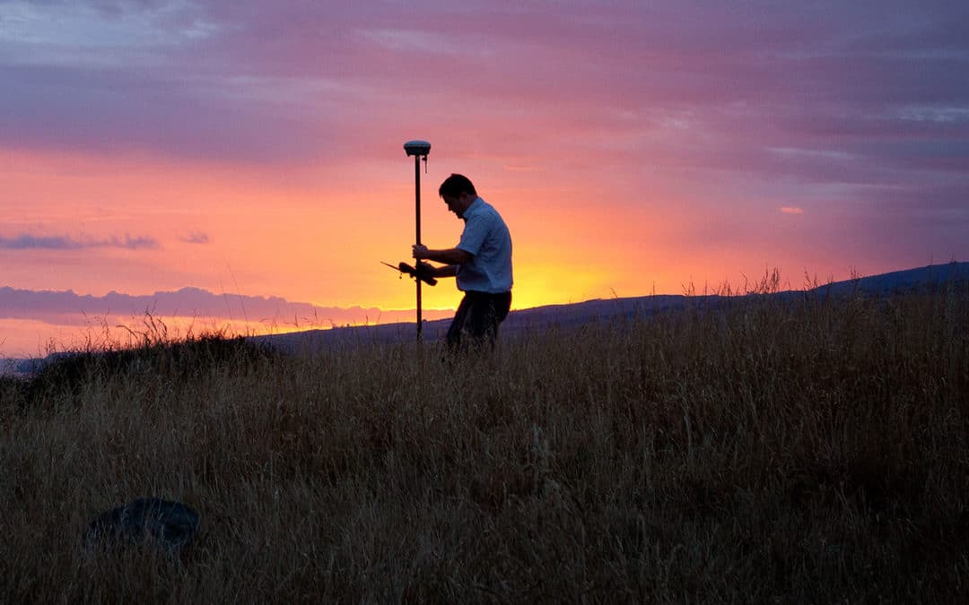
Topographic surveys allow you to map the terrain of a given landscape that you'll be working on. These surveys incorporate everything from trees to existing buildings and utility poles. They can also map the various elevations on your job site. You can use topographic...

Construction Surveying
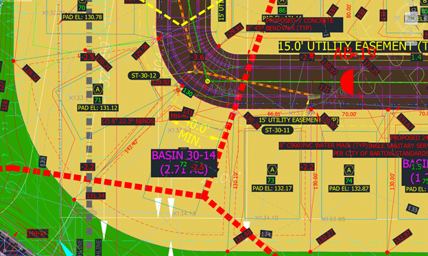
Construction surveying is an integral part of the build process. Ensure that you're completing the steps correctly to make your property safe and functional. What Is Construction Surveying? Construction surveying is staking out or determining reference points for the...
How to Determine Volume From Contour Lines
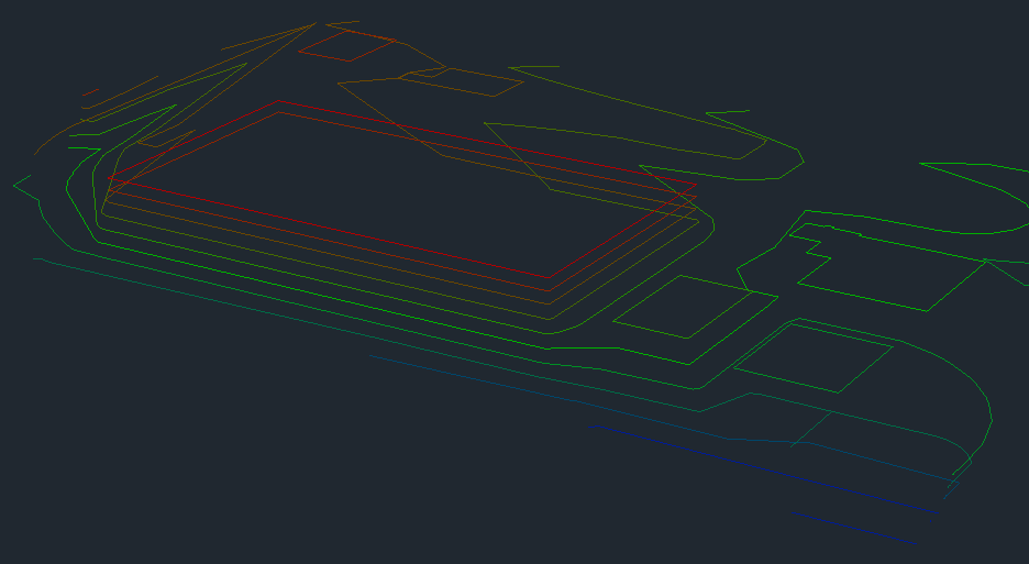
Finding volume with contour lines is essential to your business operations. Increase precision by calculating volume from topographical 3D models. What Are Contour Lines? You can find contour lines on topographical maps. These lines define the elevation levels of a...
GPS Machine Control and Surveying
Incorporating GPS machine control into your earthmoving projects will help you in various ways. You can ensure you complete the work to the best of your ability by using machine control with 3D terrain models. Combine our services with your machines to make your...
Working with Seldom Used Commands
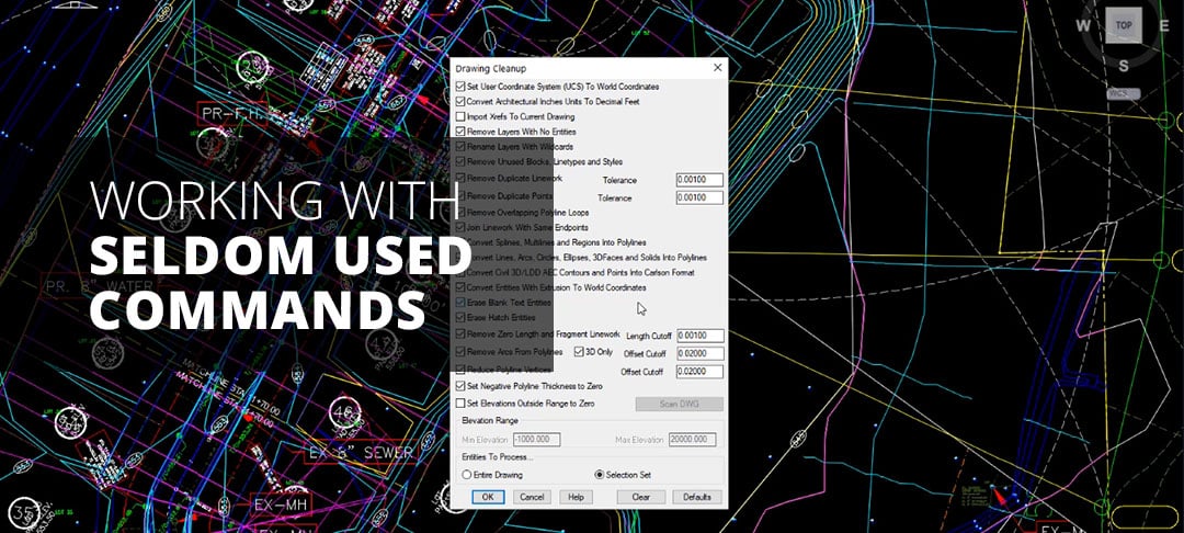
One of my superpowers, (maybe my only one) is the ability to find and know how to use obscure commands. I have an advantage in that I am constantly helping engineers on various projects. They may want to streamline a process or be stumped on how to get through an...

4 Ways You Can Increase Productivity on the Construction Site
The construction industry has suffered from a prolonged period of decline in productivity over the last few decades despite the consistent growth of the industry. Low productivity is the leading reason for going over budget or spending too much time on construction...

Mastering Earthwork Estimation
Creating an exact earthwork estimate is an essential first step to many takeoffs. You want a bid that accurately reflects the cost of labor and materials so you can get the project fee you deserve and minimize financial risks. At Take-off Professionals, our...