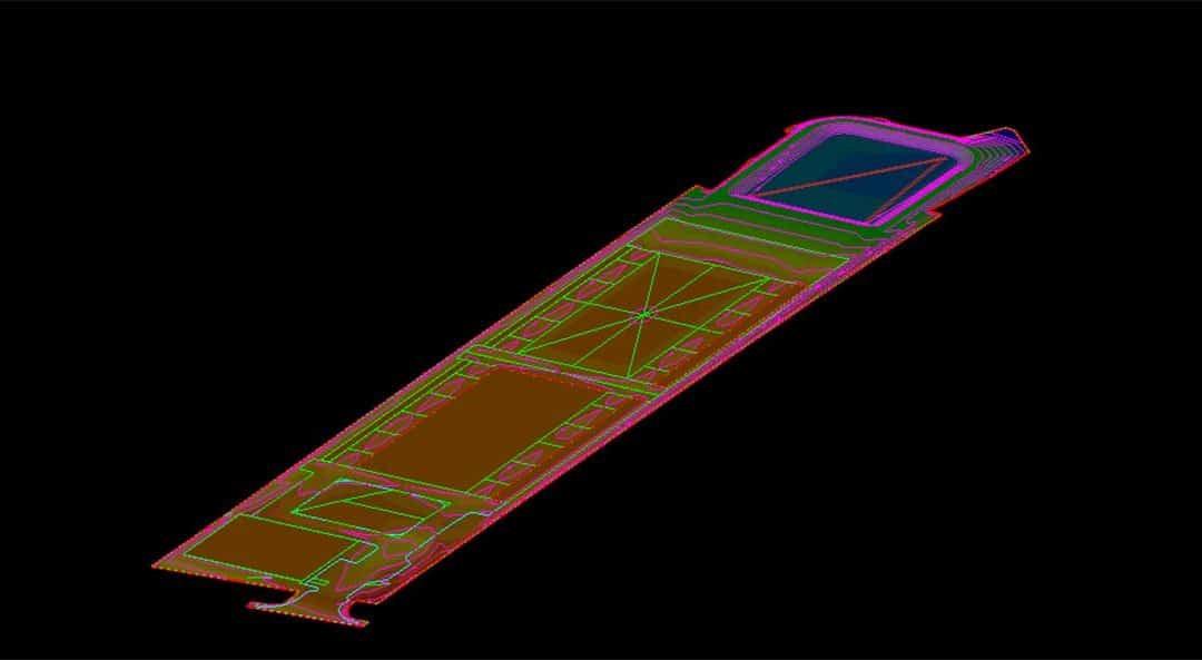
The Process of Civil Site Development
Update: March 2022 This update will go over the newer concepts for design/build on a civil site. These concepts have done a lot for large roads and in the vertical world where tenant build outs change daily. Generally, engineers that do not have enough staff and are...

Civil Engineering and Land Surveying: Collaborative Foundations for Infrastructure
When civil engineers first plan to develop a property, they require land surveyors to provide accurate measurements and information about the land. As a result, land surveyors are critical to civil engineers who want to do their job properly. By working closely with...

Can You Fix a Bad 3D Surface?
Update: May 12, 2022 - I got some questions after posting this article to address. As always, do not hesitate to contact me with questions. A common mistake, “I always use the surface from the engineer and things work fine”. Let me unpack this and discuss the reasons...
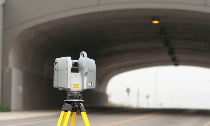
Why We Use Coordinate Systems
For this article I will go through the evolution of the way things were to the way they are today when working with local coordinates. The information is presented as fundamentals to your understanding of how GPS surveying works on a job site. Not being familiar with...
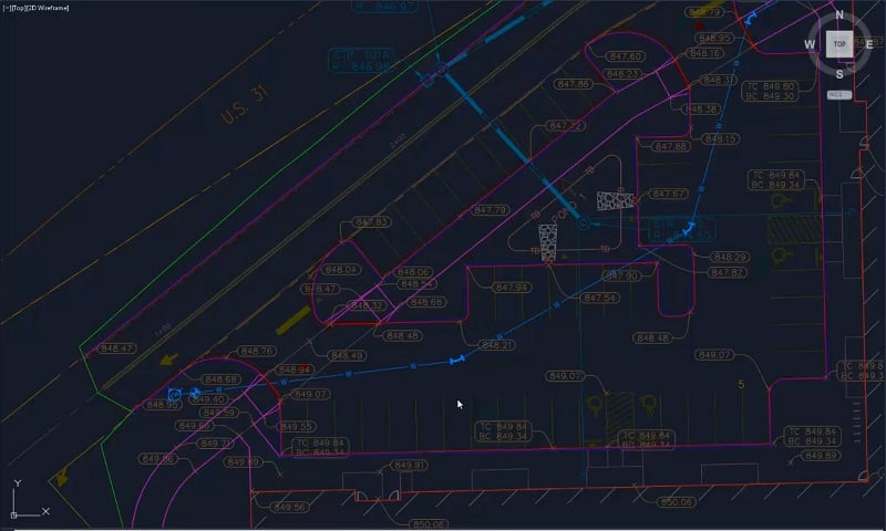
Multiple Data Types and What to Trust
Over the past 15 years we have had to sort through different types of 3D data for a job. In this presentation, I will go over some issues we find when dealing specifically with roadway rehabilitation. Issues can come up with any type of construction data. However,...
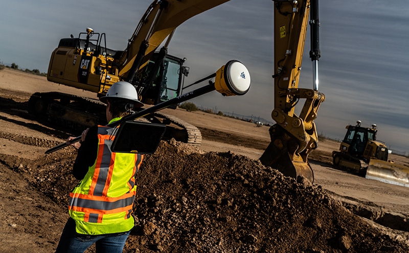
Hiring, Training and New Hire Integration
In conversations with friends and clients around the country, I am hearing the same story more often: things are busy, and we are hiring. Most of the applicants are younger and computer savvy, why are they so slow to learn? A fair question that begs a deeper dive. I...

Integrating Photogrammetry in Remote Sensing Techniques
If you work in civil engineering, construction, archaeology or any field where understanding physical layouts is critical, you can likely use data and mapping to greatly benefit your work. Two techniques in particular, photogrammetry and remote sensing, provide a...
Data Details: Highways
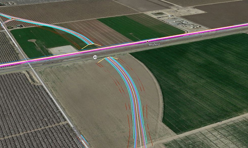
Initially, the biggest impact from machine control came to the heavy highway contractors. I can remember when Blade Pro 3D and a robot could make crisp crown transitions and get contractors bonus money for smoothness. Even with machine control technology being used in...

Data Details: Subdivisions
In the early days of machine control, we were lucky to have everything working at the same time. Hardware and firmware needed a lot of work and seemed to get worse with upgrades. Those of us who got past the tough times now have keen insight into how to trouble shoot...
Depth Maps and Point Clouds: A Comparative Analysis
A 3D model lets a civil contractor or construction professional perform machine control and layout planning before and during construction. Depth map sequencing and point cloud modeling are two examples of 3D modeling often used in construction. Although the two...
