Surveying is a profession that requires patience and accuracy. Companies across many industries need surveyors to evaluate large plots of land and provide them with detailed mapping and measurements. From construction crews to archaeologists, having an aerial view or 3D model of a worksite is essential to starting and finalizing their work. Without these images or models, workers can’t make informed plans about where to dig, what to fill or where to start building. But surveying in the traditional methods and creating precise mapping takes time.
Drones, otherwise known as unmanned aerial vehicles (UAVs), have been changing the way surveyors work. With their rise in popularity, manufacturers have created drones for a wide variety of purposes, including utility models for companies that need to inspect or collect aerial images of worksites. This guide to land surveying with drones will explain what UAV surveying is, how UAV surveying is being done, what they work well for and how accurate of an image they provide.
The Emergence of Drone Mapping in Surveying
Drone mapping is the process of surveying an area of land with a UAV. An operator flies the drone over an area of land, taking hundreds of pictures as it moves. Then, with the help of computer software, they stitch and layer the images, creating a model of the site. This process is also how drone photogrammetry works, and the end result is an accurate 3D representation of the area.
Diverse Applications: Who Benefits from Drone Surveying?
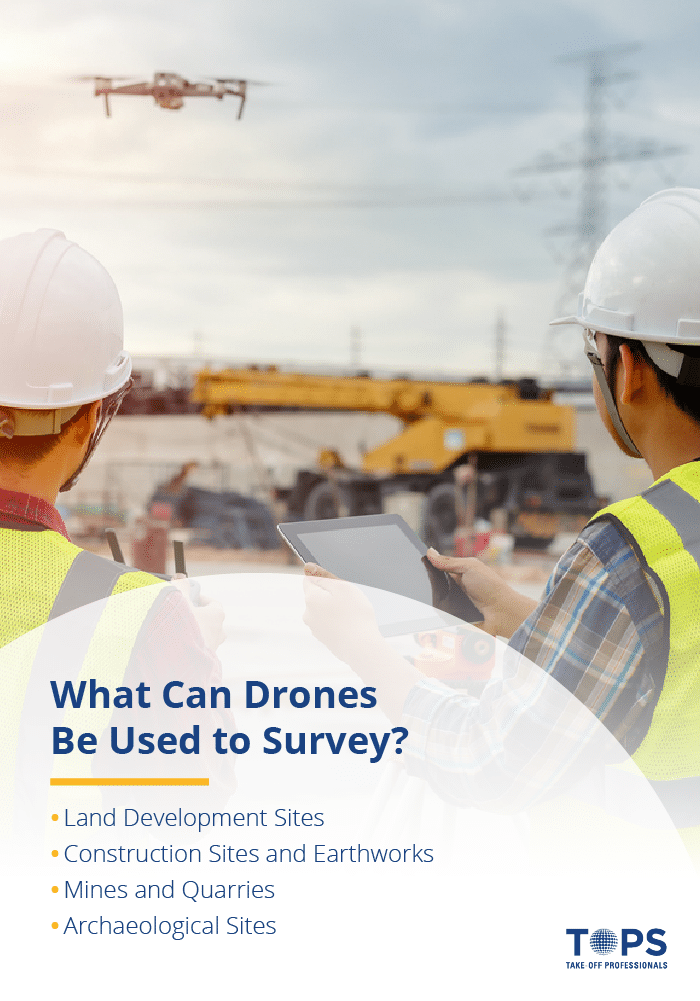
Many industries require surveyors to provide maps of areas of land. From establishing the general grade of an area to creating detailed maps of every square foot, drone surveying makes the job easier, faster and safer for surveyors. Among the many industries land mapping with drones, some of the most significant include:
- Construction: There are many answers to how drones are used in construction. Companies need surveyors to start almost any project, but they especially require their help on large-scale builds. Drone imaging aids them in establishing plot boundaries, creating legally acceptable subdivisions and evaluating the suitability of the land before beginning any foundations. With the provided information, construction companies can make important preliminary decisions that ensure optimal safety and legality for the project.
- Oil and gas: The installation of oil and gas pipelines requires a significant amount of planning. Drone surveys help these companies evaluate where pipelines can and can’t go, whether it’s due to proximity to natural resources and conservation sites, preexisting construction or infrastructure or privately owned property.
- Infrastructure: When it comes to designing and constructing new roads and bridges, infrastructure companies need to know the details of the surrounding land. Drone imaging can help them examine areas and determine if they need reshaping or if the land is suitable for construction in the first place.
- Archaeology: Before archaeologists conduct digs, they need to survey the area to decide whether or not it looks like a promising location. Using drones allows them to do so quickly and at minimal expense, saving them time and allowing them to pinpoint interesting areas.
- Mining: Quarries and open mines can be dangerous areas for traditional surveyors, but mining companies often need a mapping of their worksites. UAVs provide an excellent method of capturing aerial images and creating computer models while keeping their surveyors as safe as possible.
Navigating the Accuracy of Drone-Assisted Land Surveys
Before drones had an impact in the surveying field, creating accurate maps or 3D models of large plots of land would take anywhere from days to weeks. Now, UAVs allow surveyors to create models of comparable precision within a much shorter period. But accuracy in the surveying industry doesn’t have a single definition, and many different models of drones are available.
To understand how well drones perform, you have to consider several factors in regard to accuracy. There are many potential influences as to how well a drone can photograph an area. You also have to consider what you’re using the map or model for and what your standard of accuracy is for the given project.
Decoding Survey Accuracy in Drone Technology
One of the most essential details to consider is the drone’s operating pixel size. The spatial resolution of the UAV, also called the ground sampling distance (GSD) in technical terms, is the measurement of the space on the ground between two side by side pixel centers in the image. A drone’s GSD depends solely on the specs of its camera, including its resolution and focal length. Different camera models will provide different resolution qualities, resulting in varied GSDs.
When it comes down to measuring precision based on pixel size, your judgment should be based on positional accuracy. Essentially, this means the degree to which the model created by photogrammetry corresponds with the real world it represents. Still, there are two ways of looking at the accuracy of your mapping — relatively and absolutely.
Gauging the Precision: Relative vs. Absolute Accuracy in Drone Surveys
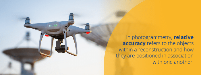
In photogrammetry, relative accuracy refers to the objects within a reconstruction and how they are positioned in association with one another. This applies to any orthophoto map, digital surface model or 3D mapping.

Relative accuracy is an acceptable form of measurement for most cases where the surveyor is dealing with a smaller area or simple uses. It can be helpful for providing general volumes, heights and distances, as well as recording vegetation. However, it’s not the most accurate mapping you can obtain.
Achieving Pinpoint Precision with Absolute Drone Surveying
Whereas relative accuracy is more general and based on its own proportions, absolute accuracy is based on a geodetic coordinate system. It takes the measurements between objects within the model and compares them to their real-world positioning relative to Earth.
Having a geodetic reference system to apply allows the surveyor or digital model creator to complete more complex functions. For example, they can create professional documentation of surveying, use the recorded geographic coordinates and combine layers for more comprehensive data sets.
Absolute orientation uses ground control points (GCPs), which allow the surveyor to create a coordinate system through the known coordinates of visual landmarks within the image. But to obtain an absolutely accurate mapping of an area with drone imaging, you have to begin by measuring GCPs through professional GPS surveying.
Key Factors Shaping Drone Surveying Precision
Many elements can affect the accuracy of your drone mapping, especially if you’re dealing with the precision of an absolute accuracy model.
First, there are the apparent influences, such as the drone’s ability. Higher quality drones will perform better, from the stabilization mechanics to the camera. Beyond hardware, there are also plenty of outside factors, such as the terrain itself. Particularly rough or uneven terrain can throw off measurements and make it difficult to create a fully accurate mapping. Weather also significantly comes into play, as heavy winds and precipitation can affect the flight speed and stabilization of your drone, especially at high altitudes.
One of the biggest factors that can impact the photogrammetry process is your GCP measurements. However you identify these crucial points, your model can only be as accurate as your starting markers. To create the most exact mapping possible, make sure you measure the GCPs with a smaller unit than the pixel size of your drone imaging. For example, if your drone camera provides an image with 1-centimeter pixels, you should measure the points within a single centimeter of accuracy.
Absolute accuracy essentially builds on relative accuracy, meaning you have to have a proper relative model within the absolute one. Therefore, the accuracy of the absolute model depends on how precisely you measure your foundational relative model. Drone mapping involves taking potentially hundreds of photos with a non-metric camera and stitching them together to create a single image. More often than not, this means not every pixel will be sitting in the perfect position in your relative mapping.
Understanding Drone Survey Precision Limits
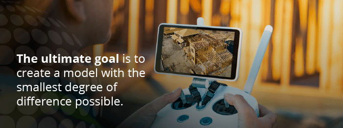
While photogrammetry provides surveyors with a far more accurate means of creating a digital model than other methods, no imaging can be perfectly precise. The ultimate goal is to create a model with the smallest degree of difference possible.
For relative accuracy, it’s expected that maps will have a horizontal and vertical error margin of one to three times the size of the pixels. For absolute accuracy, the margin should be a bit smaller, typically measuring at about one to two ground sample distances (GSDs) horizontally and one to three GSDs vertically. Even if your mapping lies outside these parameters, it may not be an issue, as particularly rough terrain can throw off measurements more than flat or level surfaces.

Drones are exceptionally capable of staying within these margins of error, as long as a trained and experienced surveyor is operating the machine. You can improve your accuracy by way of additional measurements between landmarks, using GPS reference points besides GCPs, improving your drone’s hardware, ensuring you’re working in favorable weather conditions and carefully stitching together the base images.
Legalities and Logistics: Drone Surveying Authorization
As the use of UAVs has been becoming more prevalent in industrial and recreational applications, the regulations have also increased. Before you can begin using industrial-grade drones to your advantage, you need to obtain legal permission to use them. However, it isn’t a particularly challenging process.
The Federal Aviation Administration (FAA) has control over all methods of aviation, including UAVs. To use drones in a commercial capacity, the official operator needs a Part 107 remote operator’s license. Essentially, it ensures you are knowledgeable about proper use and following regulations. To obtain the FAA license and maintain its validity, you have to:
- Take and pass a test of your aeronautical knowledge at an official FAA testing center.
- If you pass, acquire your small rating Remote Pilot Certification.
- Register your drone with the FAA and renew the registration every three years.
- Retake and pass the aeronautical knowledge test every 24 months to retain your license.
- Follow all FAA regulations, which include but are not limited to drone and control system inspections before operation as well as reporting any accidents that result in injury or significant property damage to the FAA within 10 days of the event.
Once you are a licensed operator, you can use your drones to inspect any areas you are permitted to survey by the landowners. It’s up to you to gain permission to access areas marked private property or land plots owned by companies.
The Expansive Reach of Drone Surveying Across Industries
The benefits of drone surveying cross over many different industries and provide an accurate method of inspecting and evaluating small or large areas of land. These areas may be bare and ready for developments, they may have thick vegetation or they may even already have developed construction. Since there are many purposes for drone surveying, their usefulness applies to many different areas. From flatlands to deep pits, drone imaging provides an excellent way to safely and precisely create models of an area.

When it comes to how drones are used in surveying, there are many answers. Some of the most significant uses include:
Innovating Land Development with Aerial Drone Insights
As technology has improved over the years, land departments have become more inclined to use drones to provide comprehensive land recordings of real estate or property. Drones suitable for land surveying can take orthomosaics, also called orthophotos. Orthomaosaics are groups of multiple aerial phots of an area edited together to form a single image through photogrammetry.
Land departments use orthophotos for things like developing single object mapping layers and updating land cover on preexisting models. They use it even more frequently to create topographic maps for new developments, such as various forms of building construction or designing noise barriers.
Urban Planning Enhanced by Aerial Drone Mapping
Drones are exceptionally useful for surveying many different types of land sites, and they make management far easier for the responsible parties. They have nearly a limitless amount of potential applications and services, such as using the digital surface models produced by the drones to create virtual models of plots. They’re particularly useful to urban land management.
Those working within the industry can use drone surveying to import images into computer-aided design (CAD) software to create accurate virtual models of developments. With orthomosaics, which are essentially stitched and overlapping images, management teams can create defined boundaries with the benefit of a precise, aerial view. They can even use the models for more complex functions, such as simulating where water would flow and settle in the event of a major flood and creating a plan to redirect it.
Revolutionizing Construction Projects with Drone Overviews
When it comes to planning for construction, surveyors and the various landscapers and builders are responsible for a lot of preparation. They have to calculate cut and fill projects, complete surveys for pre-construction and as-built properties and oversee the details of the site from preparation forward.
Drone surveying provides these workers with a revolutionary method of imaging and plotting construction sites. It allows them to create an accurate model and plan without continually needing to access the physical job sites, saving time and money.
Drone Usage in Mines and Quarries
Surveyors don’t always have the benefit of a safe site. Mines and quarries can pose a safety risk, especially for those attempting to inspect a site at ground level. Geologists and surveyors benefit from using drones as an aerial method of inspection, enabling them to collect accurate data and spatial measurements while lowering the occupational hazards. They also help to boost productivity in quarries and pits, as drone imaging allows workers to make improvements to planning and inventory management.
Drones in Archaeological Exploration
Beyond companies looking to build and remodel areas of land, there are still many uses for drone surveying. For one, they’re particularly useful in the field of archaeology. With drones, archaeologists can create 3D surface models and high-resolution mapping of potential excavation sites. Doing so allows them to inspect and assess the worthiness of large areas of land much faster and with more accuracy than any other method. It’s efficient, cost-effective and saves their teams a lot of time and energy.
Precision Modeling for Your Projects with TOPS Drone Services
Whatever industry you’re a part of, Take-Off Professionals (TOPS) has everything you need to create accurate 3D surface models of your worksite. Our team of professionally trained engineers and surveyors have years of collective experience using drones and accurate photogrammetry services to assist our clients. TOPS can help you tackle any challenging project, and with our services, you can start and finish faster and with more confidence.
Partner with TOPS today — contact us for more information or register your company to get started.


